One of the best ways for children to experience mapping is to create their own map from start to finish starting with a blank piece of paper. Map making has been such a fantastic hands-on geography learning experience for our children, our home school, and our homeschool co-op.
My children felt overwhelmed at first, but we started with very simple maps. We made maps of the living room or their bedroom. Often times I do give them paper with the grid already there! Set up your budding cartographers, or map makers, with a large blank sheet of white paper, a set of sharpened colored pencils, and an atlas or globe.
Our children make maps when we are doing a unit study on a country. When we study geography, they create world, continent, and country maps. We have created religion maps, time zone maps. resource maps, and religion maps.
What is involved in creating your own map?
Well, you can be as creative as you want to be, but all maps have the following 5 ingredients.
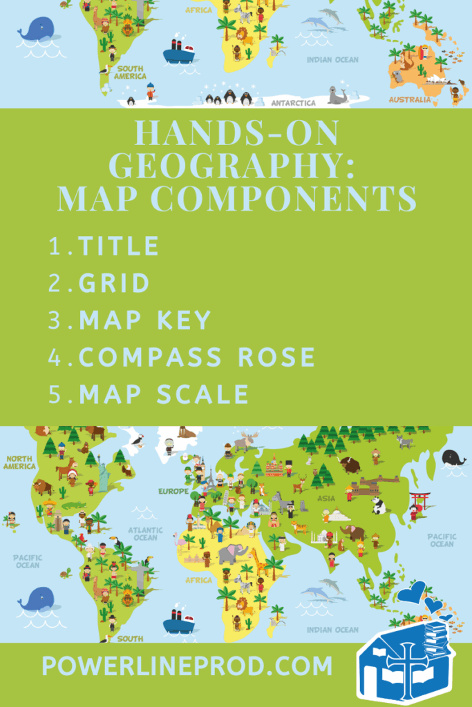
1. Title
The Title of a Map tells everyone all about the map, its information, and the purpose of map. If you map title is “Business Headquarters in Europe,” readers will expect to see Nestle, Aldi, and Bayer headquarters, along with all kinds of other businesses dotting the map.
If your title is “Mountains of the World,” then the readers will expect to see a world map with all kinds of mountain ranges like the Alps in Europe, the Himalayas in Asia, and the Andes in South America.
“Lakes in North America” would present the Great Lakes and other large lakes on the continent.
Choose a Title for your map that lets everyone know what your map will be about.
2. Grid
Every map needs a grid, most often with lines of latitude and longitude. The crisscrossing lines of latitude and longitude create a grid to make it easy to find a location. 40 degrees north and 40 degrees west is a location that can be found on a world map using lines of latitude and longitude. This location is somewhere in the middle of the Atlantic Ocean.
If you were making a map of your bedroom, you might use crisscross lines to create little boxes to give locations for your bed, dresser, toy box, and closet.
Graph paper can make a great grid for maps, as long as you label the lines based on longitude and latitude.
3. Map Key
The Map Key, or Legend shows the symbols used on the map and explains what they mean.
For example, little peaks could be mountains, blue squiggly lines can be rivers or black lines could represent roads. A yellow star could symbolize a capital city and a red dot a city.
Map Keys are often the most fun to make because you can be so creative and come up your own symbols.
4. Compass Rose
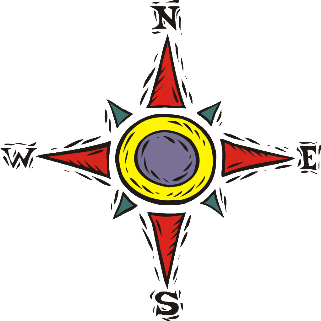
A Compass Rose shows cardinal directions–which way is north, south, east, and west. This is so important for a map so that we know exactly where things are located.
Usually north is the top of a map and south at the bottom, but don’t assume that. Look at the compass rose to see which way north is.
Sometimes north is just an arrow with an N at the tip of the arrow. Once you know where north is, you can figure out the other four directions.
5. Map Scale
A Map Scale shows the relation between the distance on the map and the actual distance in real life. One inch might represent one mile. Or one inch might represent 1,000 miles. The scale is important, especially for road maps and political maps.
Geography Resources
At Powerline Productions, we have lots of resources for your geography studies.
We love the Lord, traveling, and learning all about places all around the world! So, all our geography resources are Christ-centered, travel-focused, fill of knowledge, creative, and fun!
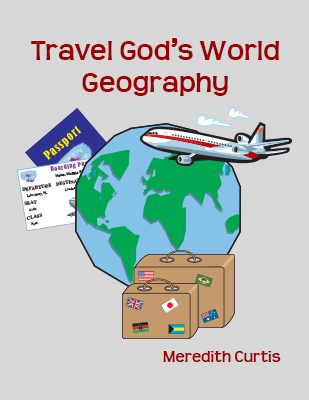
Travel God’s World Geography, our middle school (5th -8th) geography curriculum, combines conversational text with unit study fun, mapping, crafts, living books, and research projects. Children will have a blast making their passport and traveling around the world continent to continent while they explore landforms, cultures, missionaries, natural resources, businesses, transportation, and more!
You can purchase Travel God’s World Geography in Print at Amazon. The E-book is available at PowerProd, PayHip.com, and TeachersPayTeachers.com.
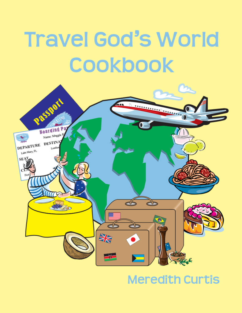
Travel God’s World Cookbook takes families from continent to continent, too, but this time everyone gets to explore different countries and their famous sights, flags, and delicious recipes. You will love learning geography in your kitchen.
You can purchase Travel God’s World Cookbook in Print at Amazon. The E-book is available at PowerProd, PayHip.com, and TeachersPayTeachers.com.
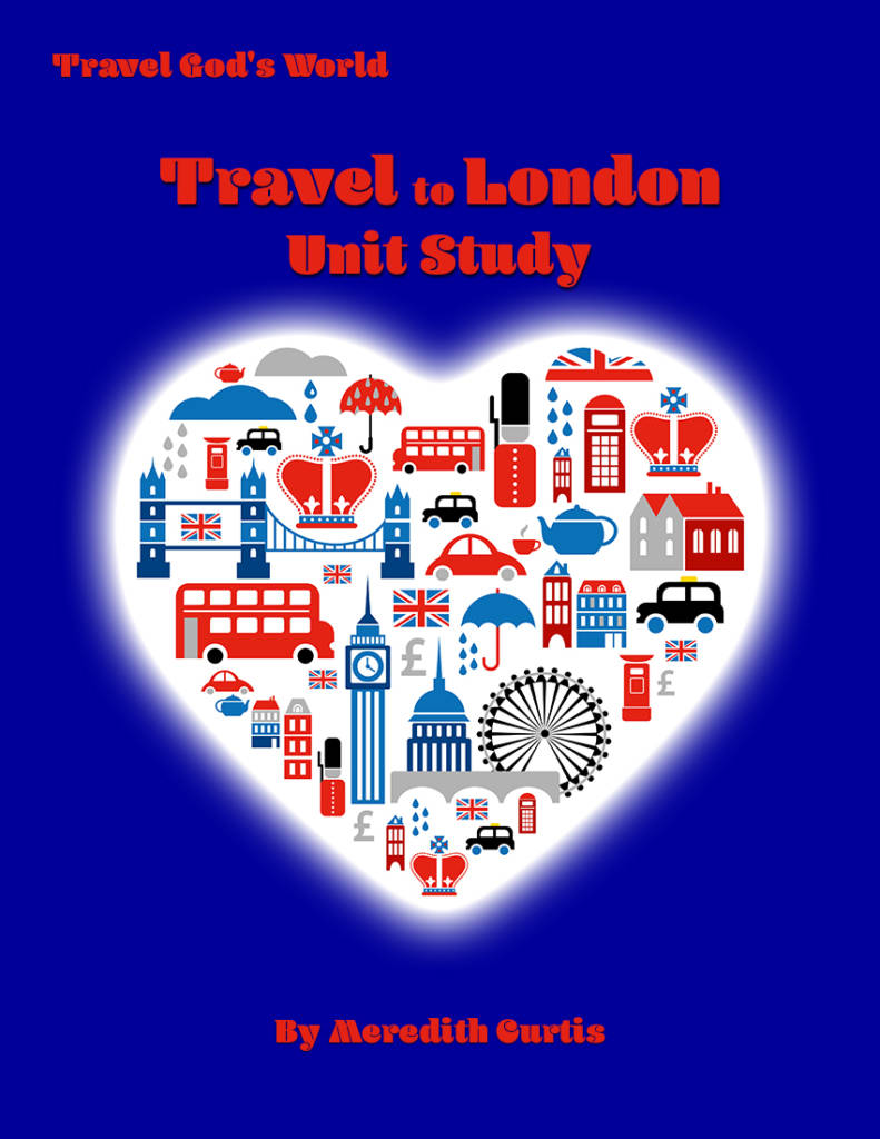
You can join our family on a trip to London, England where we explore the sights, learn history, craft, listen to music, enjoy art, read aloud, bake, and cook our way to learning fun! Travel to London Unit Study is a blast for all ages!
You can purchase Travel To London Unit Study in Print at Amazon. The E-book is available at PowerProd, PayHip.com, and TeachersPayTeachers.com.
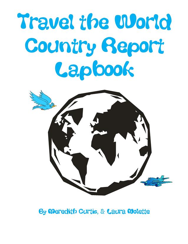
Travel the World Country Report Lapbook is a research project for older kids that culminates in creating a keepsake lapbook they can share with loved ones! Choose a country, read, research, and put together a lapbook. Everyone can work on a different country or the family can work together.
The eBook is available at PowerProd, at TeachersPayTeachers.com, and PayHip.com.
Let me know how you own adventures with map-making go in the comments below. 🙂 🙂
Until Next Time, Happy Homeschooling!
Love,
Meredith Curtis